
Engineered Aerial Solutions for the Central Georgia Plain
Welcome to the viennaagdrones.com digital gateway, the primary intake point for advanced unmanned operations in Dooly County. We believe that securing a quote for industrial-grade drone services is more than a simple transaction; it is the start of a technical partnership designed to enhance your harvest yields, protect your physical assets, and maintain environmental standards. Our project leads are not sales staff—they are flight and data specialists rooted here in Vienna, ready to translate your operational needs into a high-performance flight plan.

The pulse of Vienna’s economy is dictated by the rhythm of the harvest and the logistical demands of the I-75 corridor. Whether you are a producer managing a narrow window for peanut fungicides or a developer requiring sub-centimeter volumetric data for a site near Highway 41, we recognize the high stakes of your timeline. Our "Consult. Execute. Report." workflow is built to provide the Dooly County community with a service that is rapid, transparent, and mathematically rigorous.
The Vienna Ag Drones Method
Phase 01: The Regional Strategy
Every mission begins with a comprehensive technical assessment. For our agricultural partners, this involves a deep dive into your acreage maps, specific crop varieties (like cotton, peanuts, or pecans), and current pathogen or insect threats. For our industrial clients, we analyze site topography, desired data resolution, and specific export formats. We reject the "one-size-fits-all" mentality. In the Georgia Coastal Plain, we specifically calibrate our missions to account for sandy loam drainage, high humidity levels, and the unique airspace requirements of Central Georgia.
Phase 02: Tactical Execution
Once the strategy is locked, our local flight crews move into action. Being based in Vienna allows us to respond with a speed that out-of-state contractors simply cannot provide. We match the technology to the task, utilizing heavy-payload XAG P150s for application or Blue UAS-cleared WingtraOne platforms for high-resolution mapping. Our pilots follow a strict safety protocol modeled after commercial aviation, ensuring every acre is covered with precision while adhering to the highest safety standards of the region.
Phase 03: Data Intelligence
A mission isn't over until the data is in your hands. For aerial application, you receive a detailed "As-Applied" report that offers definitive proof of product placement and volume. For surveying and mapping, we deliver engineering-grade 3D models, LiDAR point clouds, or orthomosaics in the GIS and CAD formats your engineers require. We conclude every project with a review session to ensure our deliverables have provided the intended return on investment.
Dooly County Commitment and Local Mobilization
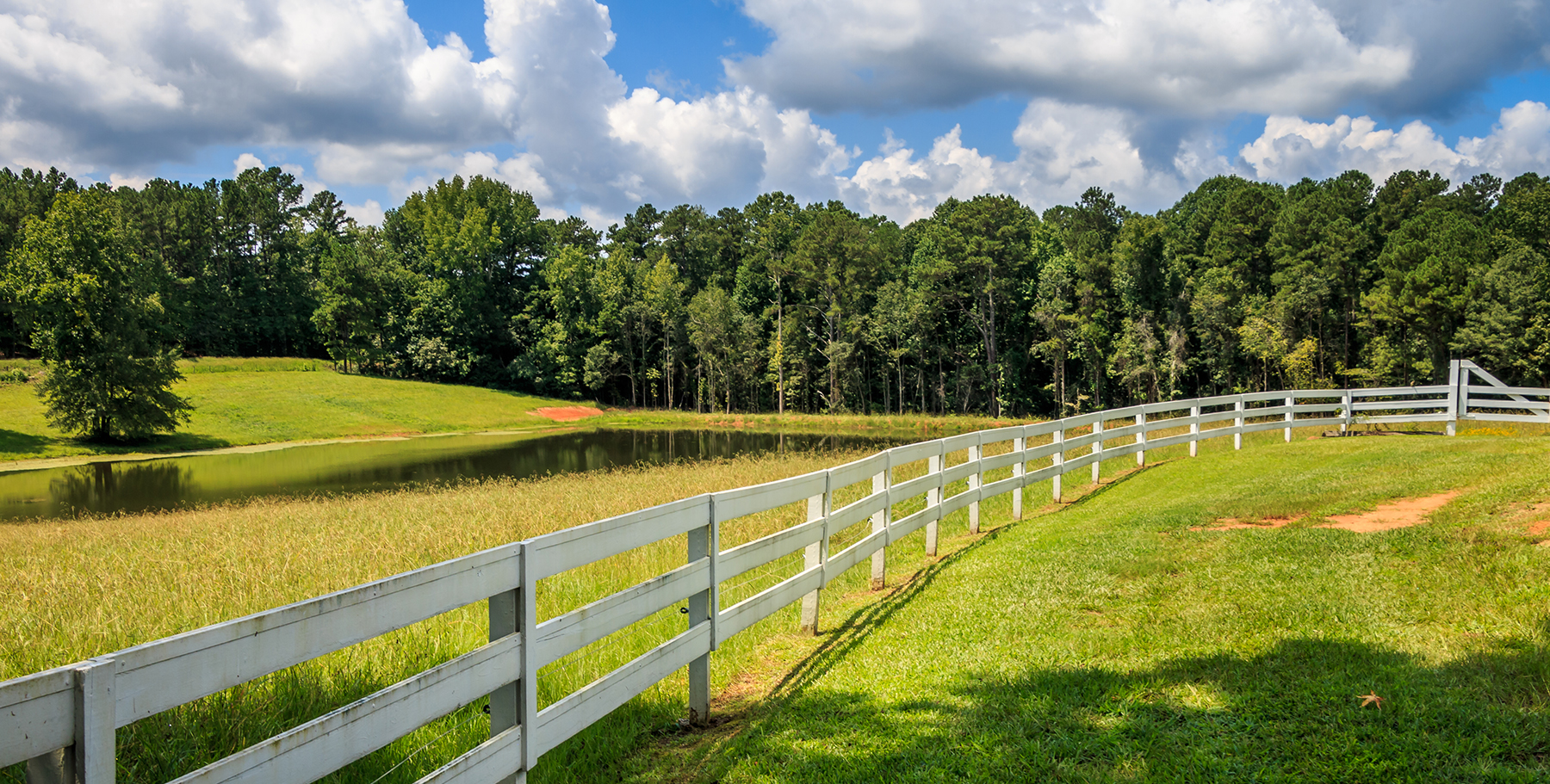
Our dedication to Vienna goes beyond the flight line. We are deeply invested in the economic resilience of Dooly County. To support our local growers and industrial firms, we offer tiered discounts for multi-year partnerships and recurring seasonal passes. By securing your service window early, you ensure priority access during the intense summer months when regional equipment demand is at its peak. We act as your year-round technology wing, handling the hardware and the complex data so you can focus on managing your operations.
Frequently Asked Questions
Project Intake Form
Vienna Regional Office
Ready to Start Your Project?
Discuss your specific goals in Vienna with a regional expert. We provide rapid mobilization and precision scoping for every regional client.